| . |
 |
. |
|
|
|
|
|
|
|
. |
|
| . |
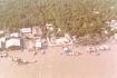
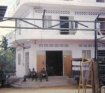
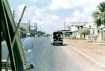
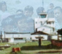
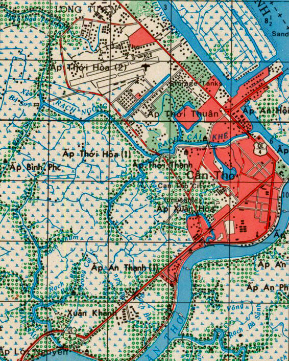
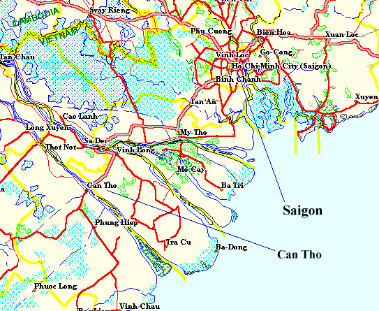
 Can Tho Army Airfield was located 75
miles south of Saigon outside the city of Can Tho and next to the Mekong river in the
delta. Can Tho Army Airfield was located 75
miles south of Saigon outside the city of Can Tho and next to the Mekong river in the
delta. |
. |
|
 |
|
|
. |
|
|
 |
|
|
. |
|
|
 |
|
|
. |
|
|
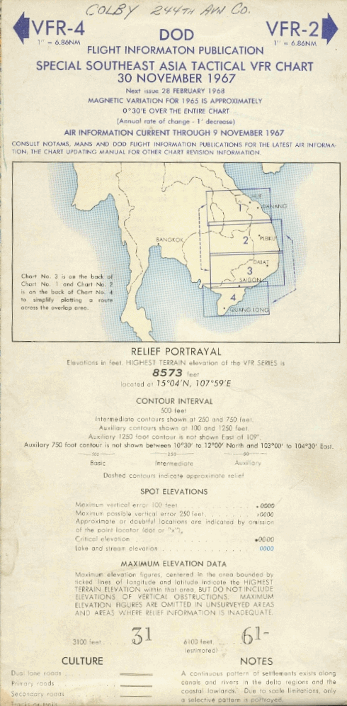
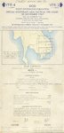 Cover, DOD Flight Information Publication, Special Southeast Asia
Tactical VFR Chart, 30 November 1967.
Cover, DOD Flight Information Publication, Special Southeast Asia
Tactical VFR Chart, 30 November 1967.
Photo By: Bob Colby |
|
|
. |
|
|
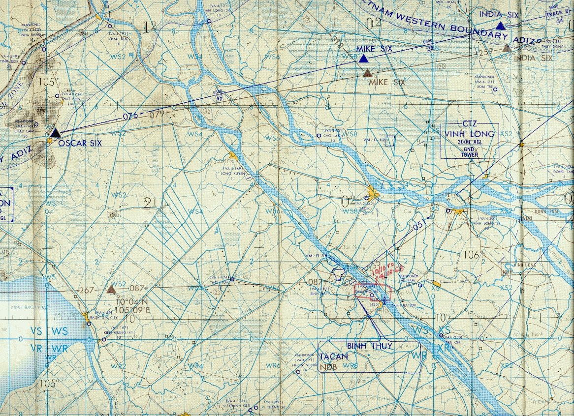
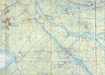 Area 4 chart from the DOD Flight Information Publication, Special
Southeast Asia Tactical VFR Chart, 30 November 1967.
Area 4 chart from the DOD Flight Information Publication, Special
Southeast Asia Tactical VFR Chart, 30 November 1967.
Photo By: Bob Colby |
|
|
. |
|
|
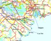
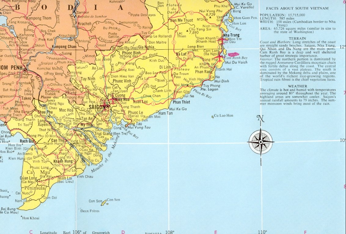
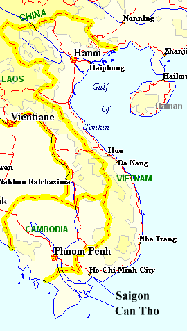
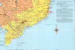 A map showing the Delta area of Vietnam.
Photo By: Bob Colby |
|
|
. |
|
| |
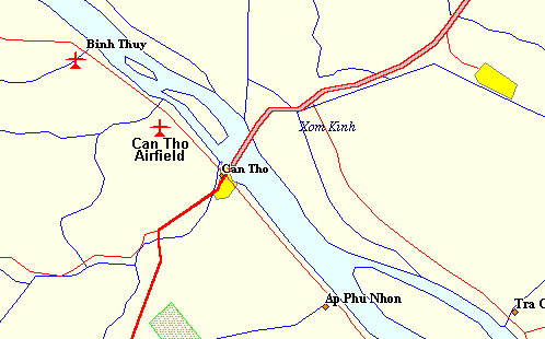
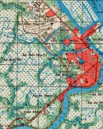 A map of the Can Tho area showing Can Tho City, Soccer Field, &
Airfield.
A map of the Can Tho area showing Can Tho City, Soccer Field, &
Airfield.
Map By: CW2 Eric Bray,
Vulture 22, 162nd AHC |
|
| |
|
|
|
|
|
|
. |
|
|
An
attempt at a camp map. |
|
|
|
|
|
|
|
|
|
|